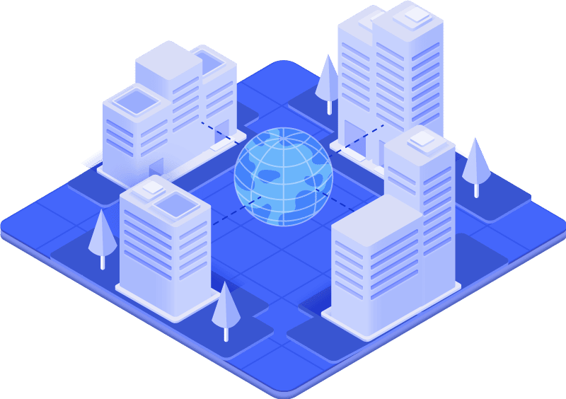
Connecting geospatial data and intelligent decision-making
Improve the lifetime value of your assets and make informed decisions with our intelligent data analysis solutions.
Our services
IntelliSpatial provides services and solutions utilising geospatial information to enable asset owners and managers to better understand the built environment and make informed decisions that lead to continued return on investment on the assets that they operate. Each asset and the environment they operate in is unique, and therefore so is the geospatial information needed to make better decisions


Decisions Backed By Data
The Power of Big Data
One of the biggest challenges that we as business leaders face, is utilising our data to make the right decisions for our organisation. In a world of Information overwhelm, we are your source of certainty.
We utilise reality capture technology including high definition scanning and imagery, virtual and augmented reality, IOT connected sensors, providing a geospatial ecosystem for real time data analytics, connecting digital twins to reality
Capturing The Real World
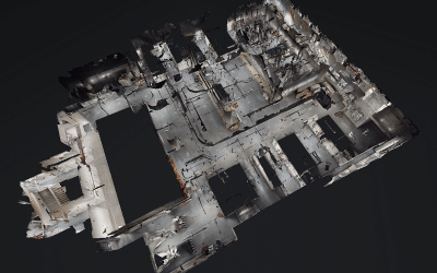
What is reality capture?
Reality capture is the term we use to describe the process of scanning an object, asset, build or natural environment to create a digital representation at a point in time.

Digital Twin
A digital twin refers to a digital replica, a virtual model or the three-dimensional representation of the built environment or physical asset, at a certain point in time.
A digital twin can also be the design model for a future asset, which can be updated and maintained to reflect the as-built state of the asset, during the construction and operational phases of its lifecycle.
Reliable Partner
Our Partnerships
We are strengthened by our partnerships and are proud of the company we keep. In every region we operate, our partnerships uphold our collective beliefs.

Latest Insights
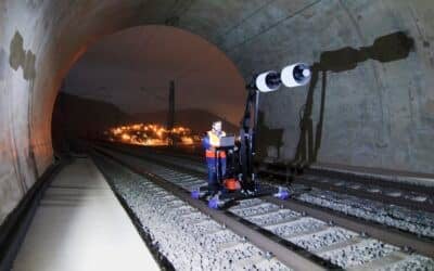
The Future of Tunnel Asset Management
The concept of digital twins has gained significant traction in recent years, no more evident than in rail tunnel asset management. To explain: a digital twin is a 3D replica or model of the as-built or natural environment generated by using a variety of reality...
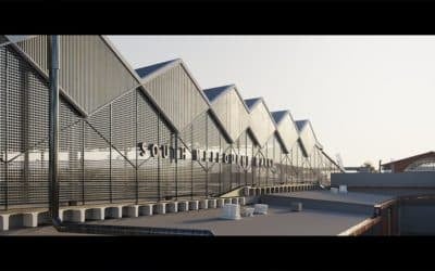
South Melbourne Market
IntelliSpatial and Land Surveys were requested to create an accurate 3D “digital twin” snapshot of the existing above and below ground facilities of the heritage-listed, South Melbourne Market, built in 1867, prior to the commencement of renovations and upgrades of...
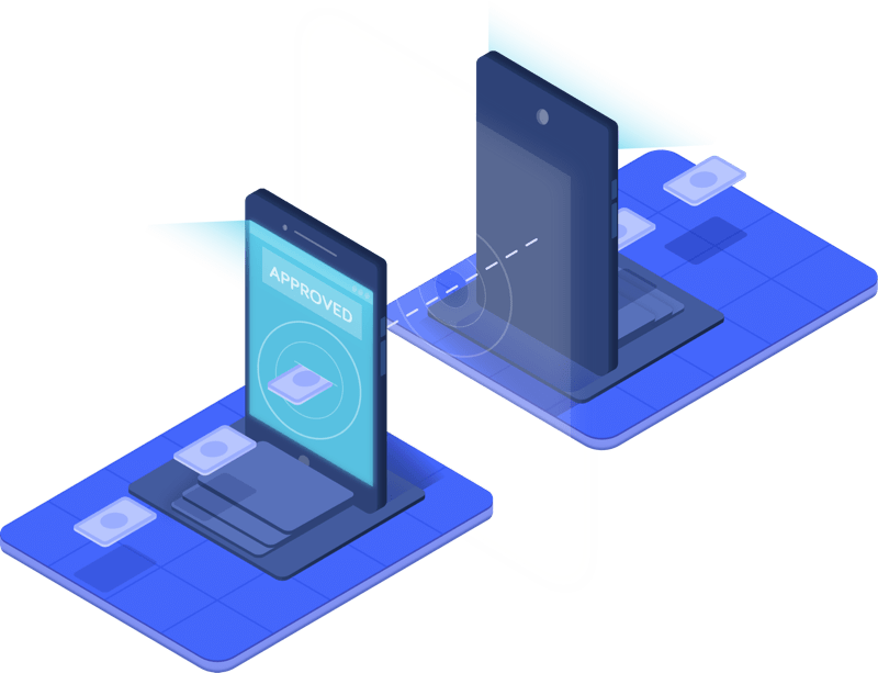
Digital Twins and AR Technology
Gain greater insights with this technology Augmented reality technology provides the ability to enhance how we use and engage with digital twins in real-time. This creates opportunities to gain greater insights on how your assets are performing, utilised, and...
Connect
Work With Us
We understand our clients need to make informed decisions about their asset to identify opportunities that deliver a return on investment. Contact us, to find out how you can harness and improve your level of understanding and utilisation of your 3D data.