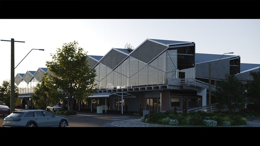
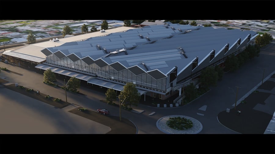
South Melbourne Market
IntelliSpatial and Land Surveys were requested to create an accurate 3D “digital twin” snapshot of the existing above and below ground facilities of the heritage-listed, South Melbourne Market, built in 1867, prior to the commencement of renovations and upgrades of the whole facility. The 3D snaphot was aimed at providing a holistic assessment of the impact of the planned works on existing infrastructure.

Using a combination of static and vehicle-mounted laser scanners, 360° imaging, and traditional surveying methods, Land Surveys captured external and internal building elements, as well as the streetscape surrounding the facility. This created a digital snapshot (point cloud) of the real-world built environment, from which various 2D and 3D deliverables were extracted. At the same time, a variety of ground-penetrating radar (GPR), electromagnetic, and high-frequency induction techniques were used to search, locate, and survey subsurface utilities and record the metadata throughout the site.

Once data capture was complete, the point cloud and imagery was brought together into a 3D scene. The underground utility survey was combined in the same geospatial reference frame, to create an aggregated model of all above and below-ground features. With comprehensive and representative 3D geospatial data, South Melbourne Market can simulate new upgrades, relocate services, and identify clashes between existing and design data from a ‘single point of truth’. From here, the base 3D model can be upgraded with a new design and as-built information, as well as non-spatial data and documentation to assist in operations.
Capture once. Use many times.
If you would like to know how IntelliSpatial can implement these benefits through your project lifecycle and contribute to significant reduction of operational and maintenance costs over time, connect with us.
