The Future of Tunnel Asset Management
The concept of digital twins has gained significant traction in recent years, no more evident than in rail tunnel asset management.
To explain: a digital twin is a 3D replica or model of the as-built or natural environment generated by using a variety of reality capture techniques. Its purpose is to accurately reflect a physical object. The results of this technology are then be used to create simulations that help to predict how an asset performs over time.
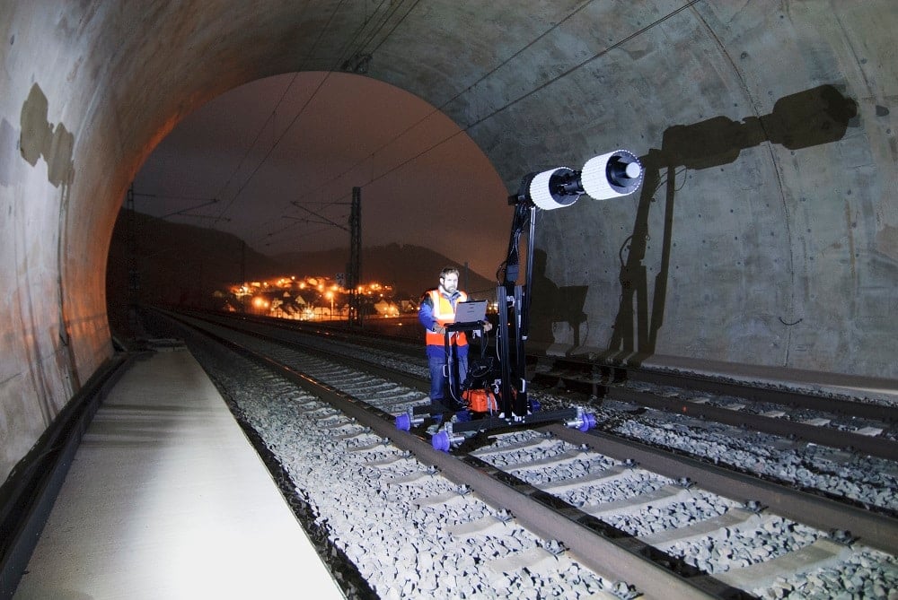
Such reality capture solutions combine laser scanning technology with high-resolution cameras, and photogrammetric processing techniques that create complete geometrical and visual replicas of tunnel assets – and all at 1mm resolution. This is the edge: digital twins can be exploited to deliver superior condition assessments and asset management. Still photographs and pencil notes on clipboards are old school.
Collectively, with our associated companies and global partners, including Land Surveys, we have developed a geospatial data management and visualisation portal. This portal houses the ability to acquire and apply knowledge and skills for the collection of geospatial information to create substantial value for asset owners.

At IntelliSpatial, we have a clear purpose to provide solutions that harness three-dimensional spatial information that enables asset owners, managers, and builders to better understand the as-built environment. And this, in turn, allows them to make educated and enlightened decisions that lead to continuing returns on their investments in their respective assets.
As James Sanderson, Land Surveys National Business Development Manager, explains, IntelliSpatial matches geospatial data and its attendant analytics to provide a highly detailed creative dataset for interpretation and utilisation by key decision makers.
“Clients and asset owners access their data through IntelliSpatial’s proprietary portal in the Cloud,” Sanderson says.
“The IntelliSpatial system helps decision-makers to minimise their design costs at the outset of construction projects, reduce maintenance expenditure once an asset is in operation, and assist in revising the foreseeable continuation or predicted eventual closure of a building, facility or infrastructure asset.”
IntelliSpatial’s target is to meet the demanding needs of engineering and design companies and infrastructure and construction entities, among them the all-important linear assets of road and rail.
It utilises industry standard and proprietary reality capture technology that includes high-definition scanning and imagery, virtual and augmented reality (AR and VR), the Internet of Things (IoT), and numerous connected sensors.
“Combined, these provide a geospatial ecosystem for real-time data analytics via the connection of digital twins to reality,” Sanderson says.
“The IntelliSpatial system helps decision-makers to minimise their design costs at the outset of construction projects, reduce maintenance expenditure once an asset is in operation, and assist in revising the foreseeable continuation or predicted eventual closure of a building, facility or infrastructure asset.”
